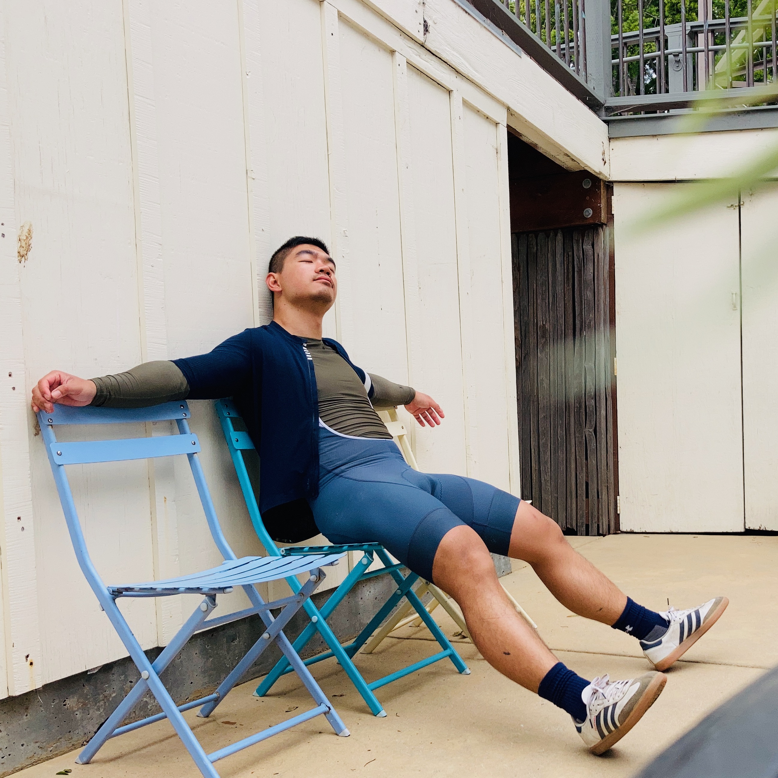
Bike/Train from Berkeley to Big Sur in 3 days.
Sep 22-25, 2024
Having been on Hwy1 between San Francisco and Los Angeles a couple times, I always see those crazy bikers being closer to the cows and the ocean views than me sitting in a car behind the glass window. Not long ago, through my partner, I finally met one such person. “You are one of those!” I said to him when I found that he has done such a bike ride a couple times! Now in September 2024 I finally get to do parts of it myself.
Making the odds less against me
Biking along the narrow shoulders and sometimes none can be dangerous. According to other blogs, April or September is low traffic season. On top of that, in 2024 a long stretch of the road is completely broken south of the Slate Hotsprings area due to a landslide in Feb/March raining season, so the Big Sur is only accessible from the north. This prompts me to seize the days/months of low traffic. On top of that hotel prices are much lower. See the 3 notes at the end of the page for more tips in handling traffic.
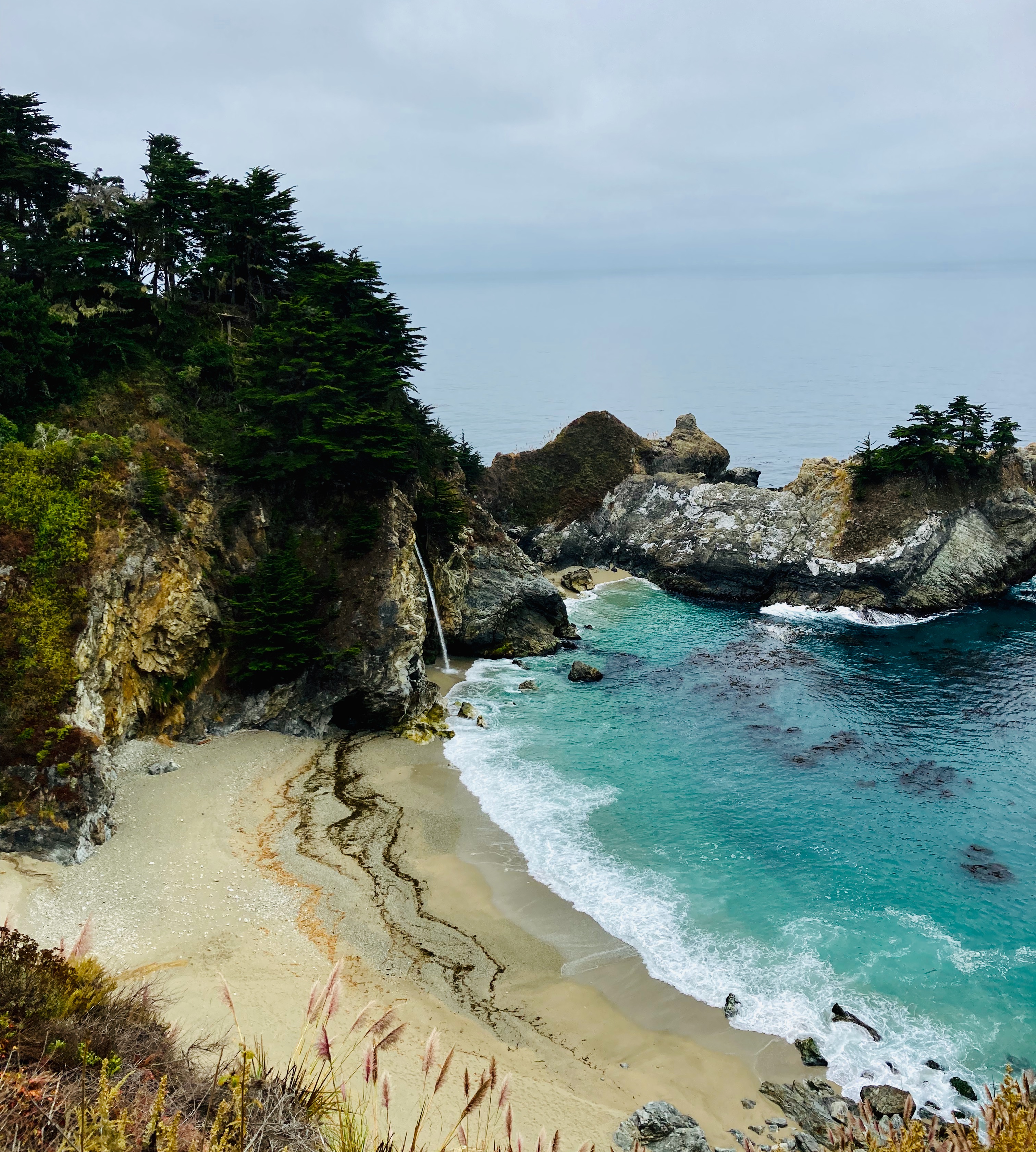
The road is closed south of the Slate Hotsprings, so we need to double back at some point. In consideration of traffic access is available only on the north side, it is entirely logical to deduce that some period of the day, I can have the road completely to myself. Indeed, on a morning, I was able to bike to McWay Fall from my inn and back with 80% of time biking in the middle of the lane!
In sum, I chose to do the bike ride at a low traffic period and arrange biking time to enjoy the luxury of zero cars on the road with me.
Working with circumstances
The circumstances are road is closed half way, although as I mentioned before, this constraint can be an opportunity.
Other circumstances are that civilizations are often 20 miles apart. This means pacing myself and avoiding cramps because there is no place to sit other than butt on the hard dirt ground. This also means carrying enough water. 750 mL in my experience is ample.
Itinerary
I went to a conference (UCSF Neuroscience Retreat) at Pacific Grove, and so this itinery includes 2 overnight stays in Pacific Grove. If you are coming down from Berkeley/San Francisco area, because highly likely the Amtrak will be delayed, it is wise to do little biking on day 1.
Day 1: Get your ass to Monterey area.
Emeryville to Salinas (Amtrak) 10:30 - 14:30 Salinas to Monterey to Pacific Grove: bike! This stretch should take about 2:30 hours. Route on Strava
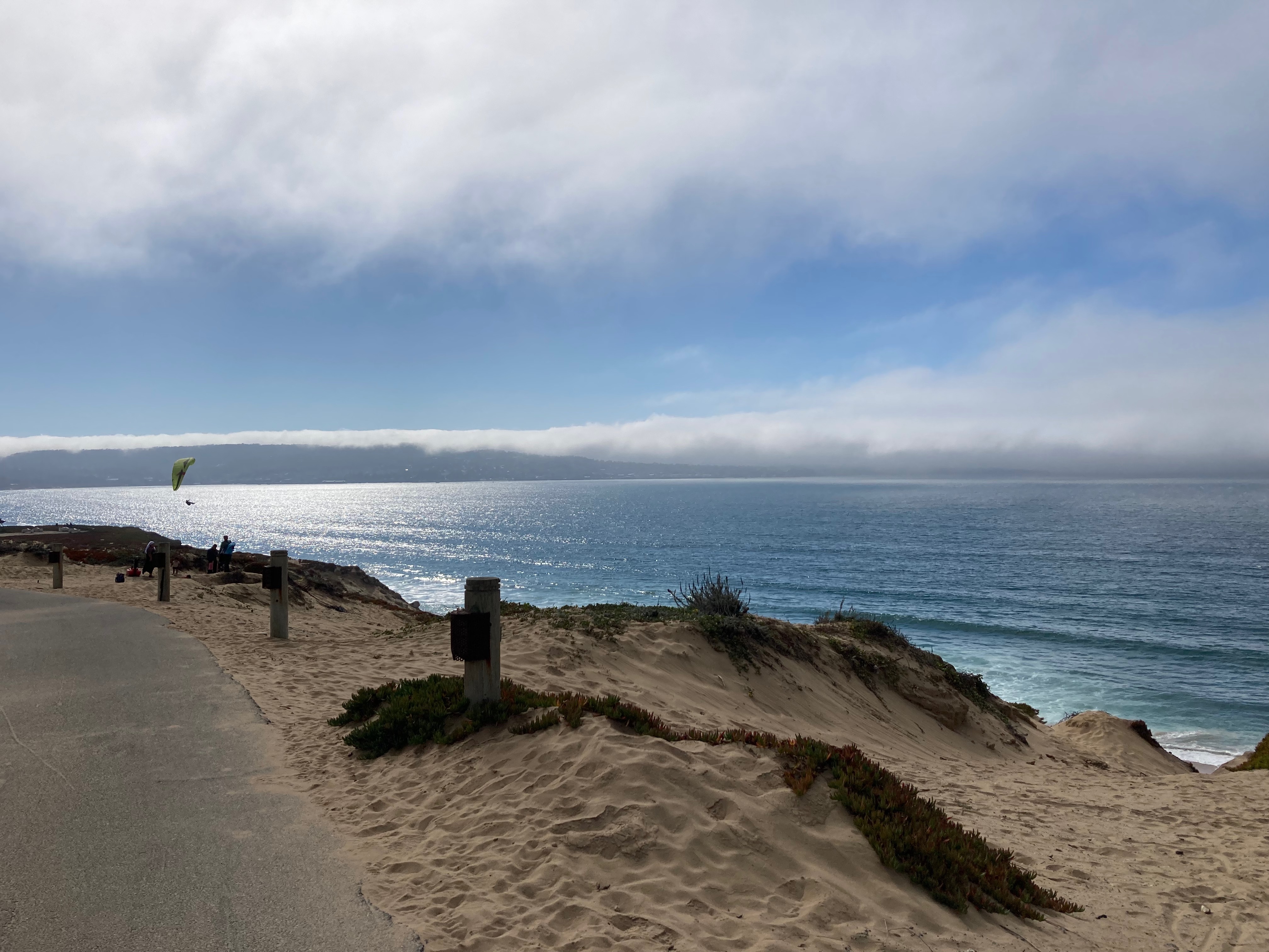
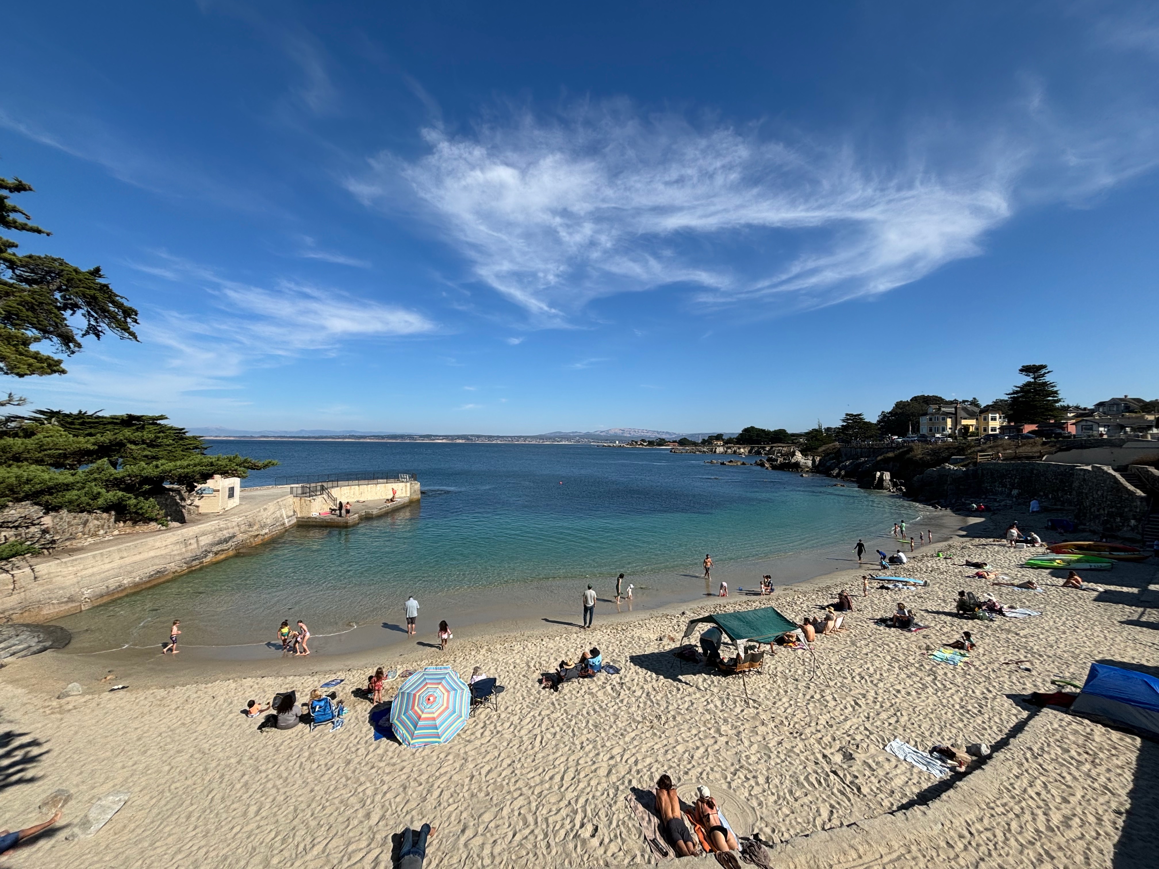
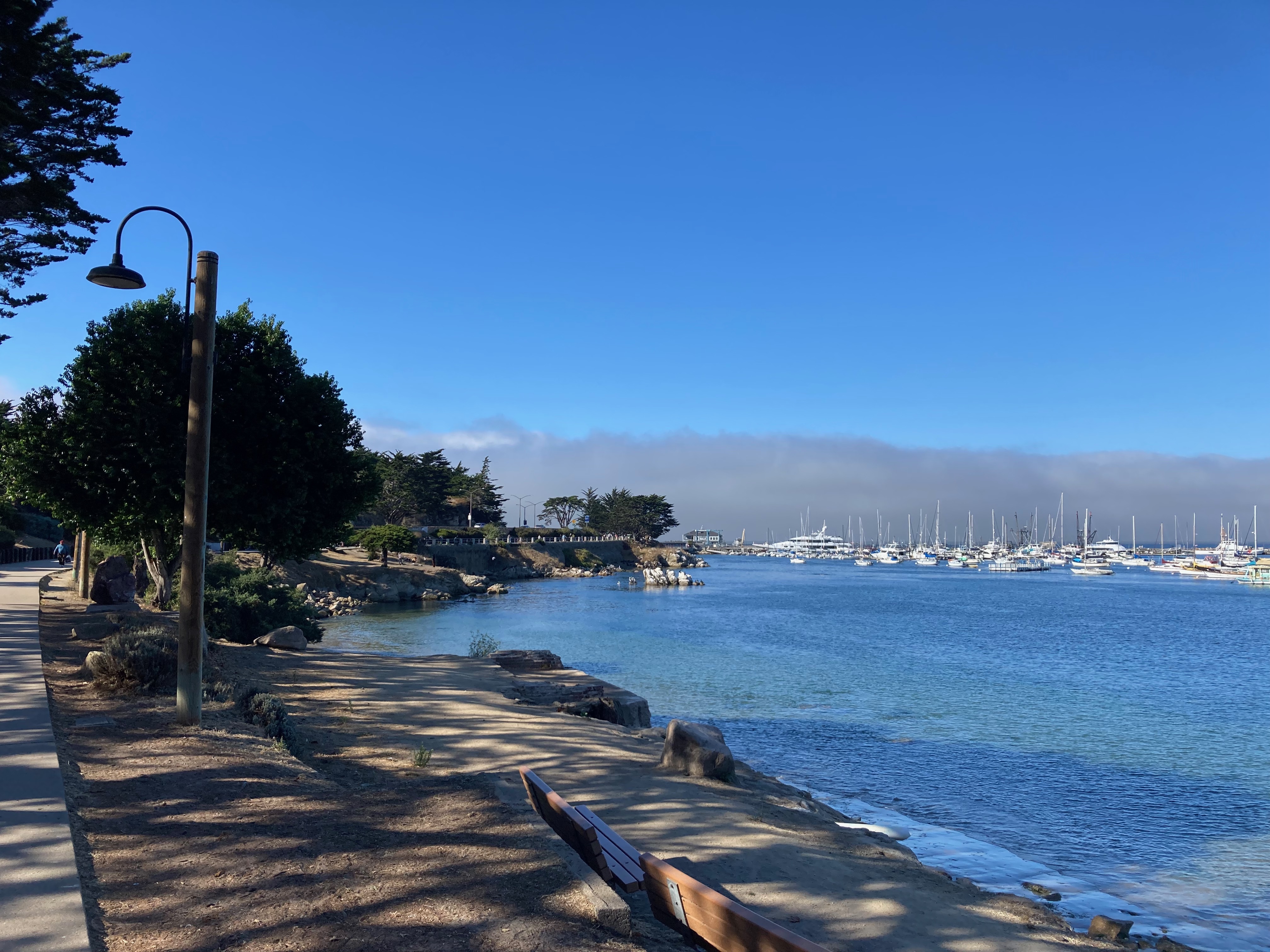
Notes on this stretch: the Blanco Rd from Salinas to Preservation Rd is sketchy. It’s next to heavy traffic and the road is fully of dirt making the bike ride unstable. It is, according to locals, gray, in Salinas. Biking in strong wind blowing right in your face, dirt, bleak overcast. If that doesn’t sound fun, take Bus 20 to Marina, CA and get off at around Cafe Mia. The coastal ride is along Hwy1 but completely separated and is paved nicely and has nice views. You shouldn’t be biking along cars for the most part and if you find yourself do, ask around and get back to the beautiful bike path. The view gets better and better until you won’t believe it around Monterey all the way to Pacific Grove where I ended today’s journey. Bathroom breaks along this route: the first one should be around Marina, CA and another one could be around Lovers Point Beach in Pacific Grove.
After arriving at Pacific Grove Swimming in Lovers Point Beach, Pacific Grove. There is a place there to rent wetsuits. The wetsuits are good quality. Super friendly guy runs that shop. Bring your swimming goggles though.
Day 2: 17 mile drive + getting into Big Sur (22 miles) = 40 miles + sunset hiking 3 miles
Notes for the stretch:
- There are multiple gates into 17 mile drive. It’s free for bikes. The entrances are easy to find.
- The 17 Mile Drive will be windy and foggy even if you leave at 10am. This is just how this area is in the morning. Can wear gloves.
- Rest well at Pebble beach as this will be the last stop that doesn’t require detour before the 24 miles into the Big Sur.
- After the 17 miles drive you’d be biking along cars for 2 blocks before entering Big Sur through a bridge. Strava for this stretch is here
- 8 miles into the 24 miles, there are portapotty mobile bathrooms at the Garrapata Beach. The bathrooms have sink. But this one will be the last stop that has a bathroom with a sink.
- I recommend Big Sur River Inn to stay overnight. Certified choice by locals: they wouldn’t need a place to stay but they’d bring their friends here to sit in the river. The chairs in the Big Sur River is such a vibe. Overnight stay is also the cheapest there. Spacious and clean rooms. There is also a general store at the site. Perfect place!
- After checking in, I spent some time sitting in the river. Then shop for tmr’s breakfast, as I’d need to have breakfast at 6 so that I can hit the road at 7. All restaurants in Big Sur opens at 8am. There is one backup: the Big Sur Deli about 4 miles in from the River Inn opens at 7am.
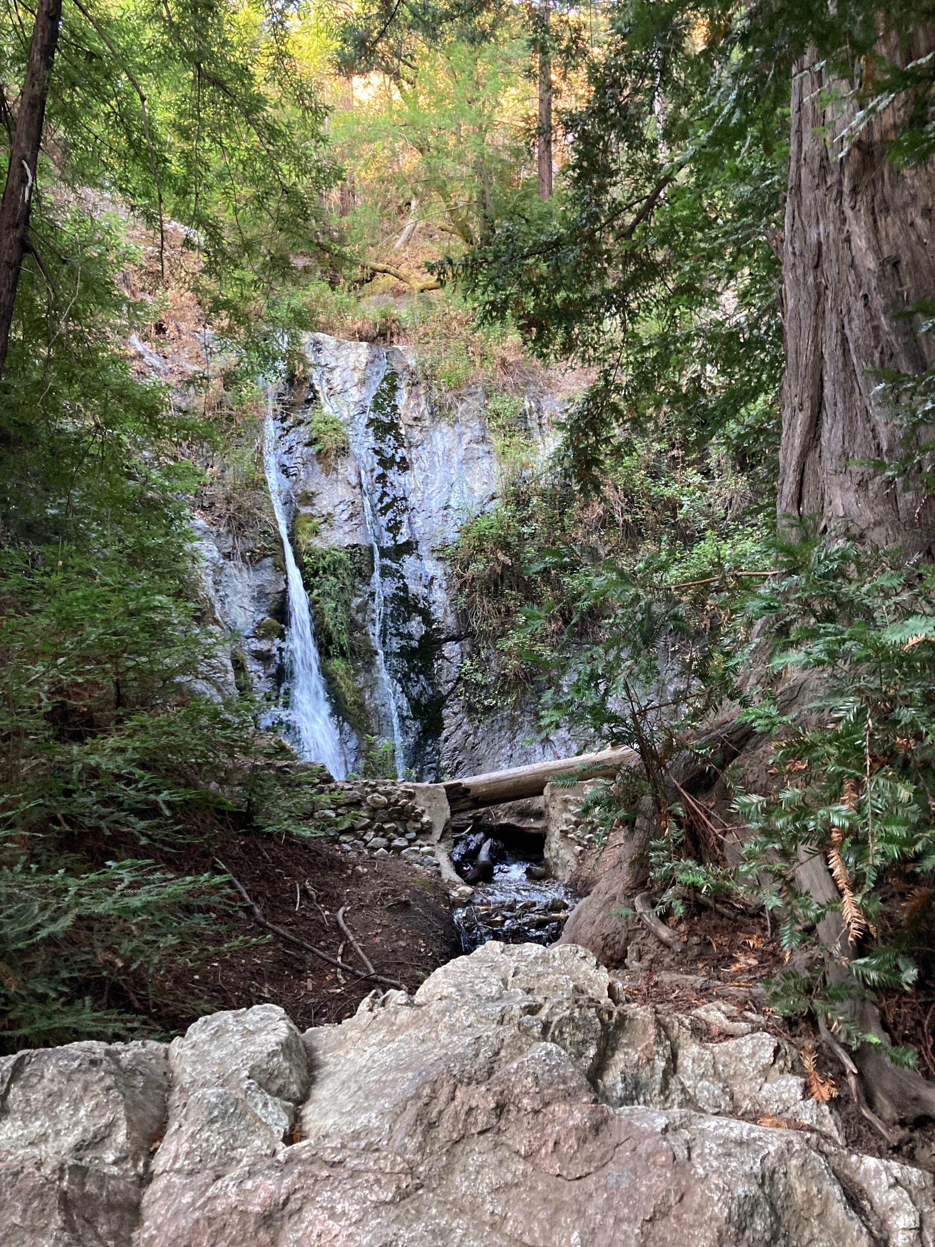
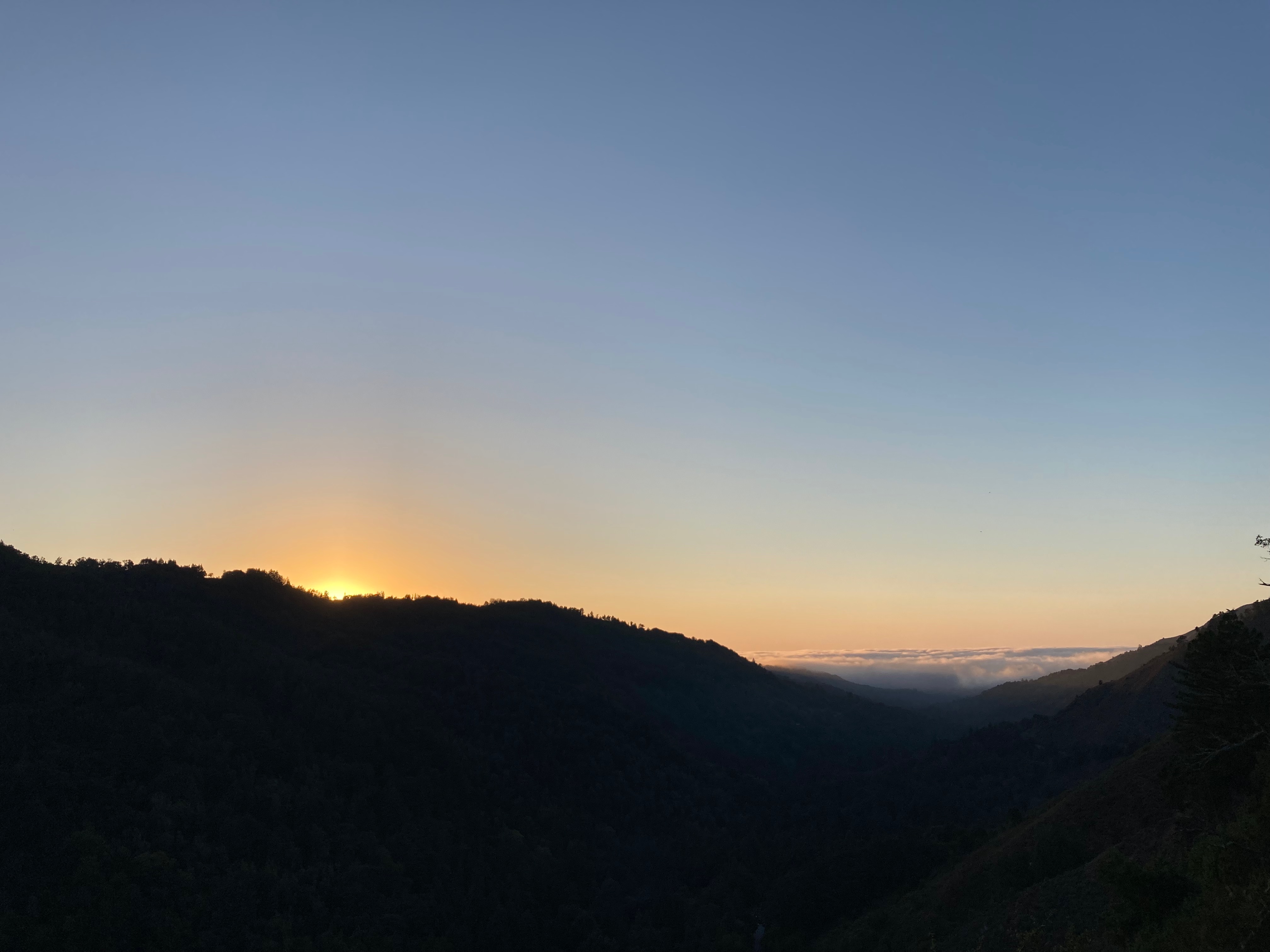
- After checking in and sitting in the river, I hopped on the bike again for 2 miles of light biking to the Pfeiffer Fall Park for a hike with great view short < 3 mile in total. Bring ample lights as the sun may go down faster than you think.
Day 3: 13 miles to the McWay Fall, and back to Carmel = 46 miles
Notes on this stretch:
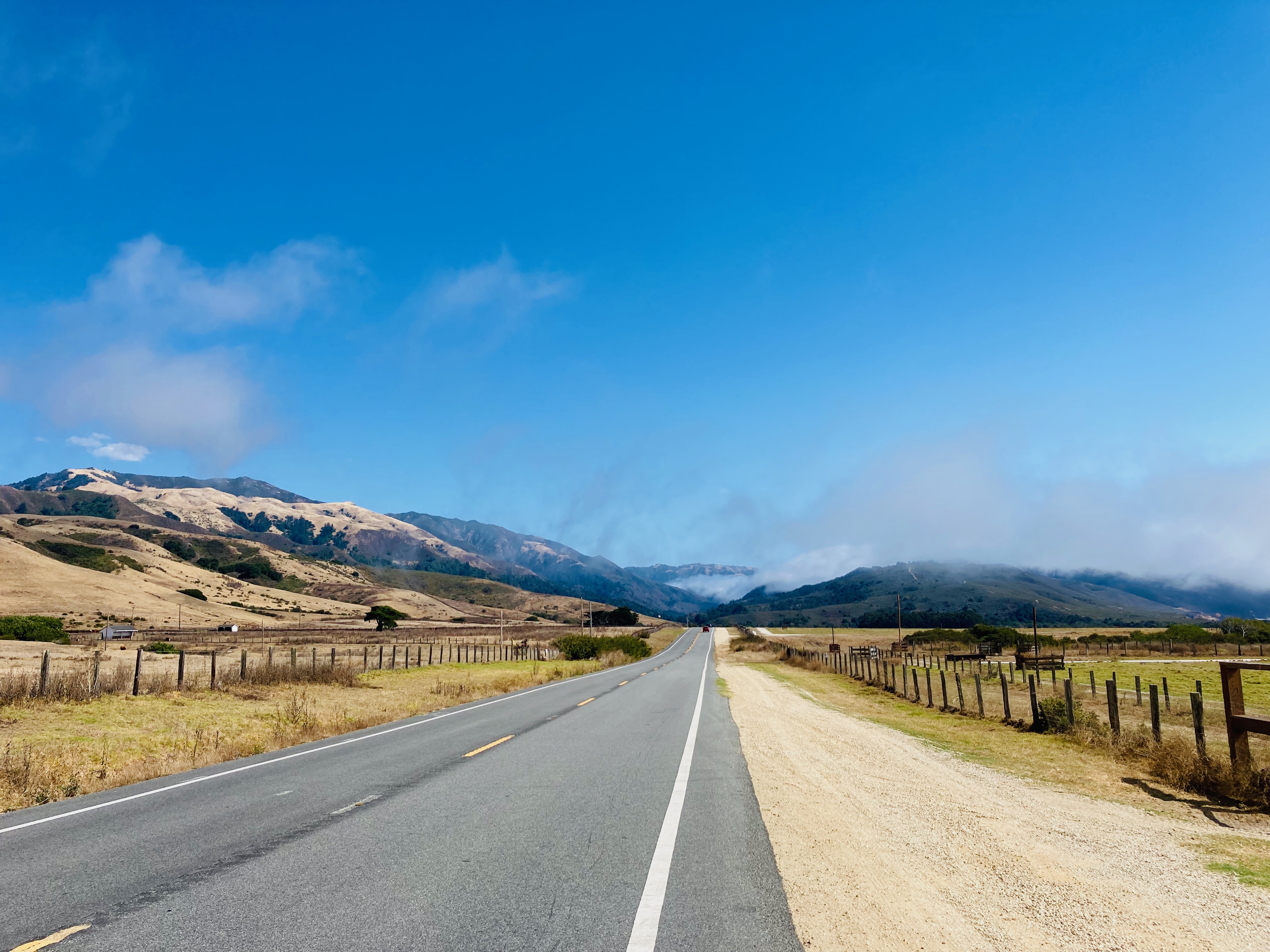
- If you leave early enough in the morning, you can have the whole road to yourself pretty much until 10am. Service cars will be your only occasional passerby.
- After leaving the Pfeiffer Fall area, the 4 miles after towards south is all uphill. Consider taking a rest at the Big Sur Deli/post office you’d pass by.
- After the post office, there will be just a little more uphill left followed by a lot of descent. Enjoy!
- The McWay Fall park has a running water bathroom. Seize your chance.
- I biked 13 miles from the McWay Fall back to the River Inn in one go, as the way back north isn’t as hard as the way south. Ample descents. Strava for this portion is here
- Rest well/big lunch as River Inn and charge your phone before heading out on the 22 miles to Carmel. Strava for this portion is here
- I took Bus 5 back to Monterey from Carmel. I highly taking this bus or other buses if you decide you are not doing the 17 mile drive twice. The Hwy 1 portion of this stretch is not worth doing.
General notes:
- Most challenge in biking with traffic is psychological. Notice the road markings delineate wide space for cars. The rule of thumb I have to ease anxiety is I noticed even if the car is driving right in the middle of the lane, I can still have my bike tires on the rightmost white lines without being hit. That widths estimation extends to trucks. Therefore, in the case of no shoulders, you should be able to bike along cars and trucks.
- Another mental exercise to help is realizing we bike along cars all the time in San Francisco. Despite the clear markings of bike lanes, I wouldn’t say the physical distance between bikers and cars are that different when I’m on Hwy1 in Big Sur.
- A final mental exercise is to realize that most people drive that road for leisure. Only the service car would be pressed in time to get somewhere. Some cars actually were cheering for me.
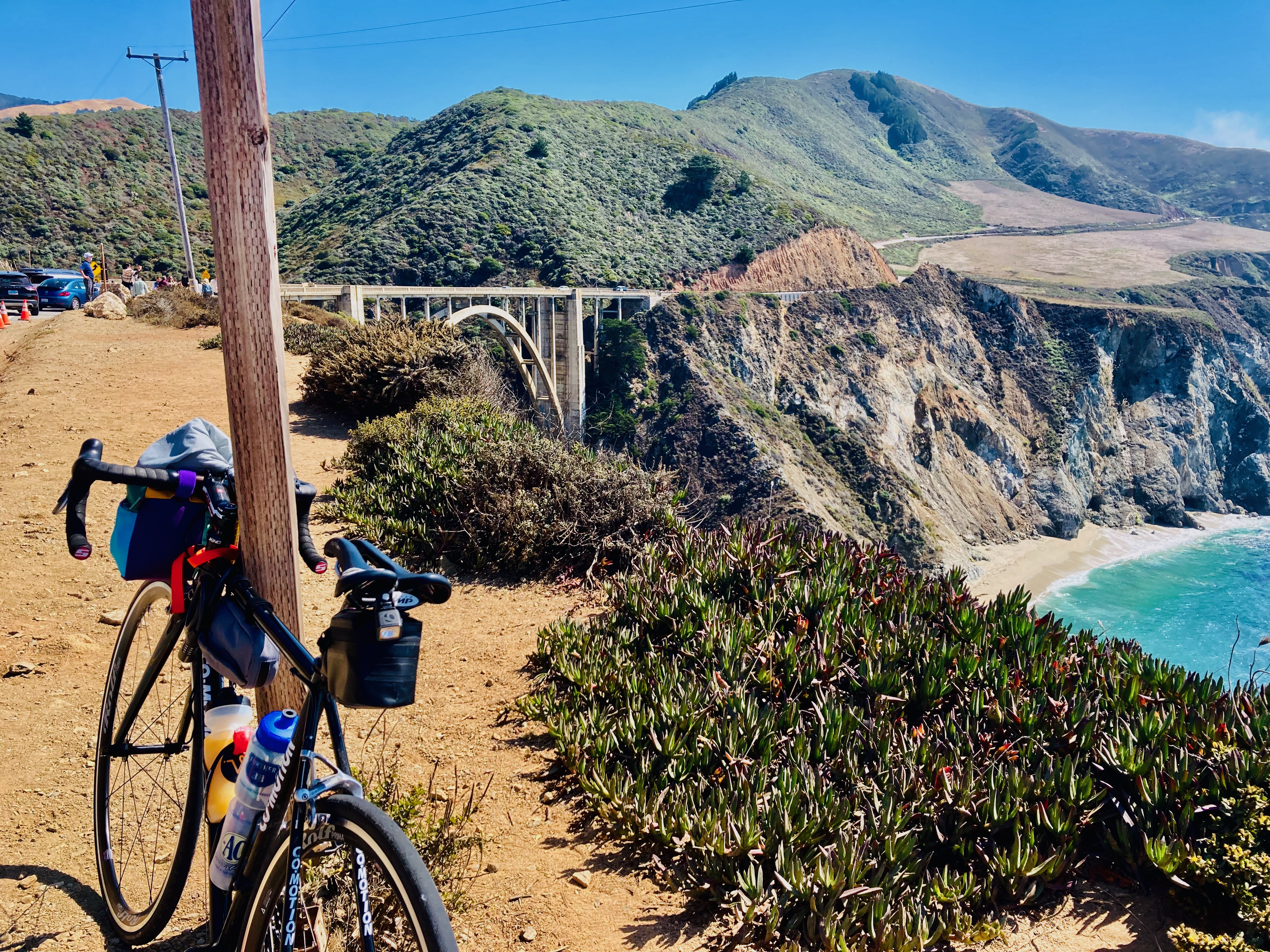
- Avoid using panneels. They widen the space you take on the road. I don’t find them necessary. See the picture below for my setup. Of course, if you do camping, then that’s your only solution.
- Avoid backpack on your back. Not only will it tires you more and overall makes the biking trip less enjoyable, it also hinders sweat wicking. Big Sur has good weather, but you’d sweat a lot in the long ascents. The good news is the sweat will dry quickly if there’s nothing on your back.
